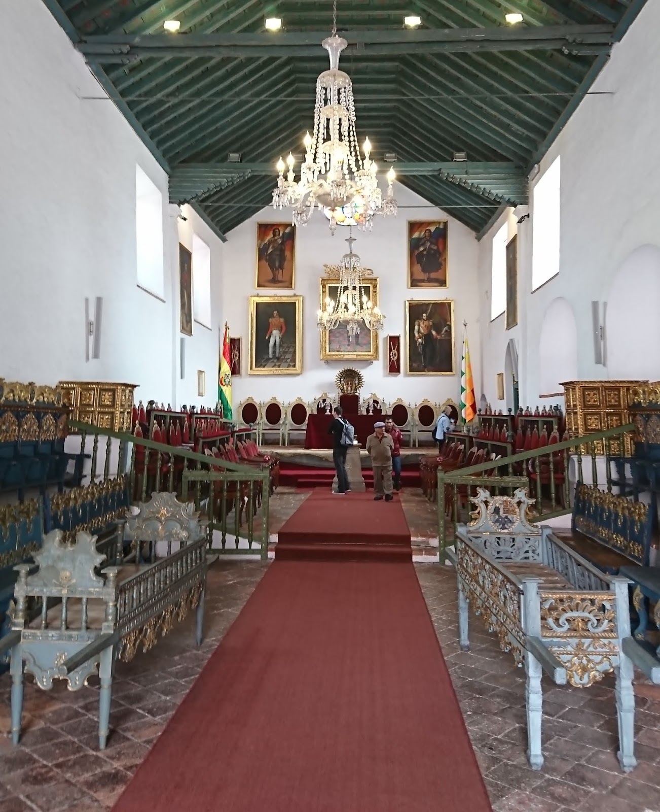
Casa de la Libertad
 |
| Juana Azurduy |
Hike of Maragua, 3 days and 2 nights
After visiting the city, I decide to explore the surroundings by going on a three-day walk. I take a bus to Potolo from near the “Mercado Campesino Sucre” and hike a route through Maragua, an ancient volcanic area, with dinosaur footprints and cave paintings.
 |
| Hike Maragua Map |
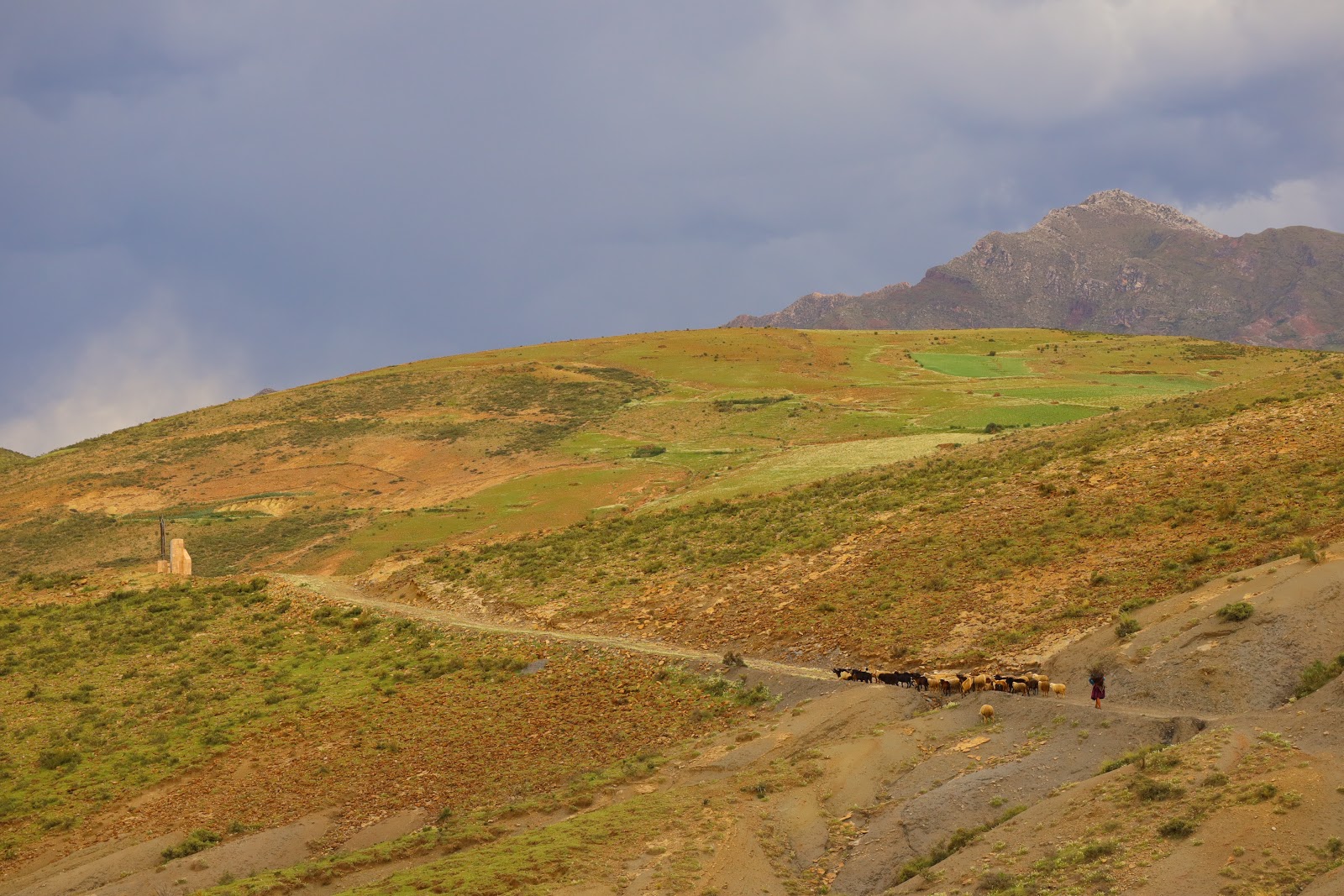
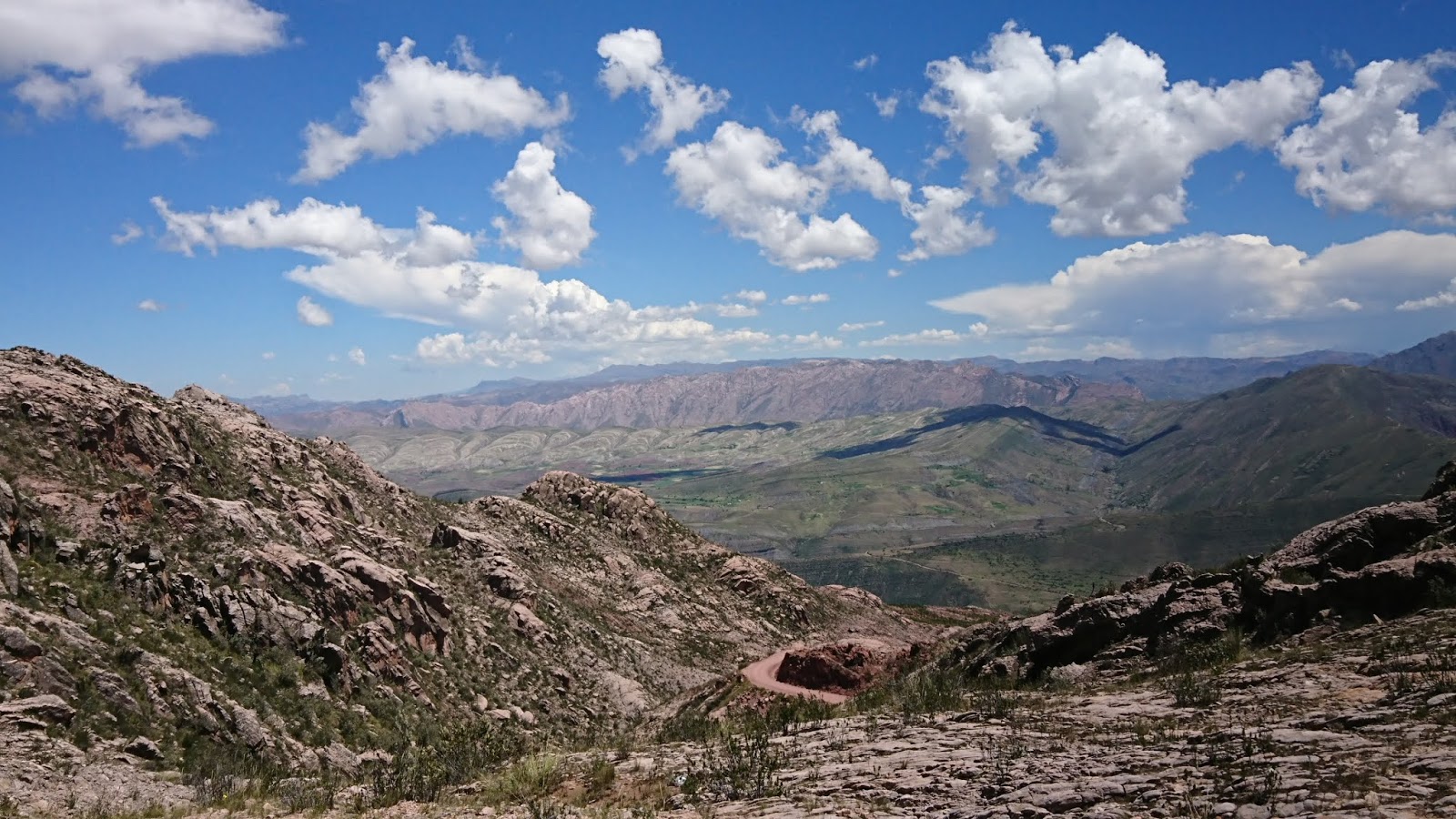 |
| Landscape of Maragua |
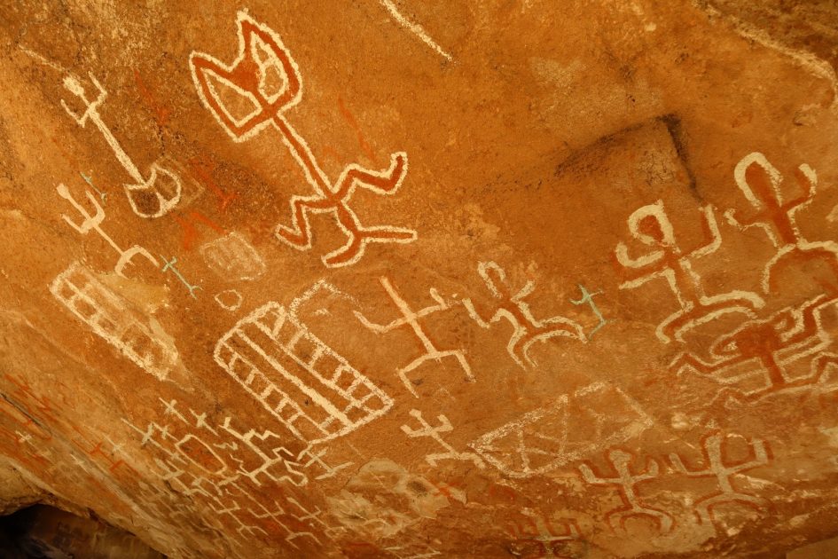
First, I go north to make a round trip to Inca machay and Pumamachay , a total of 9 km. There are some cave paintings there that are about 2,500 years old, the first ones (Sauces culture), and the second ones are fifteen hundred years old (Huruquilla culture). The truth is that they look very fresh, I think someone has done an update recently!
 |
| Cave paintings in Incamachay |
Then I follow a part of “capac ñan“, the network of Inca roads that covered more than 30,000 km. It is perfectly restored and is a delight, a path hanging next to the mountain, supported by retaining walls with an ideal slope for travelers and “chasquis”, the Inca runners who carried messages. I take water from a river and take it with me for a few kilometers to camp, as it is a fairly dry region.

Camino Inca
The next morning I continue the route arriving in Maragua, where the stores have almost nothing, and luckily I find pasta and tomato sauce! I continue along an unmarked route (thanks to maps.me and view ranger digital applications to guide me) until I reach the footprints of dinosaurs, sauropods, and ankylosaurs, in Niñu mayu . Here I ask for water again to camp a little higher up, with good views of the valley.
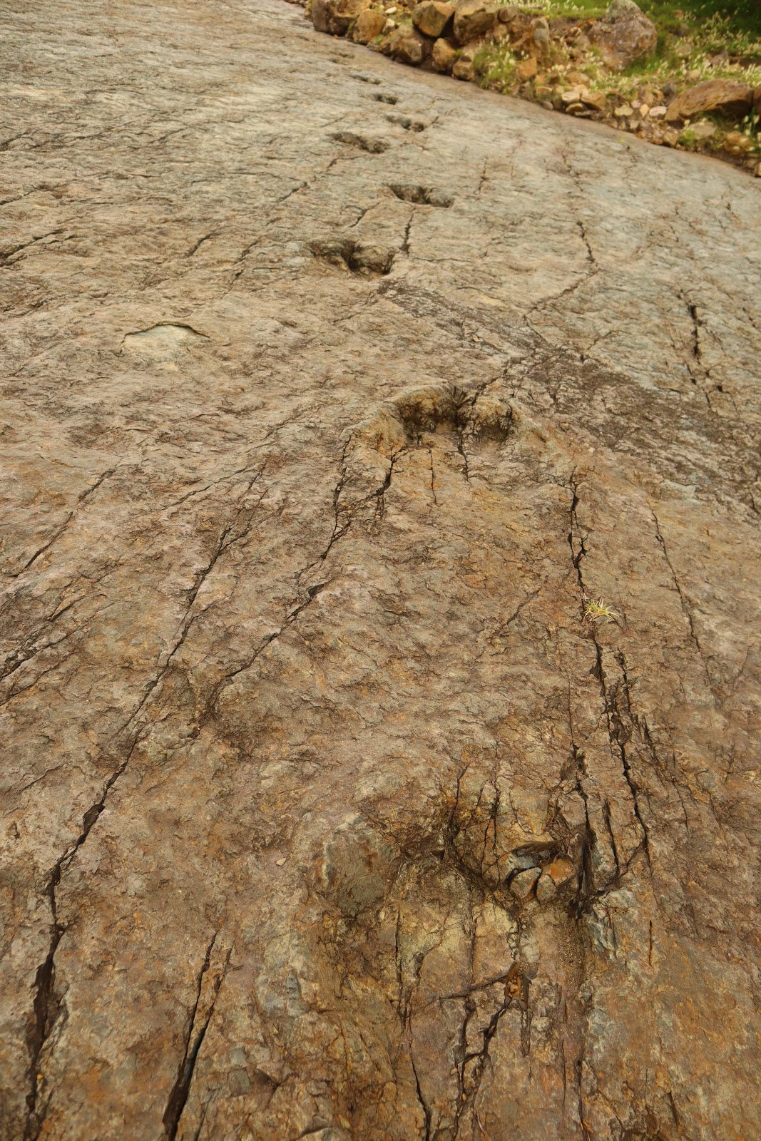 |
| Dinosaur prints in Niñu Mayu |
 |
| Beautiful colors during the hike to Niñu Mayu |
The next day I walk to Potolo to return by bus to Sucre. Potolo is a pretty little town that sums up the spirit of the area: people from the Jalq’a culture who work the fields and speak Quechua, with a large ball of coca leaves on their cheeks, who look between astonished and indifferent to the gringos we walk by backpacking through their town.
You can see more photos of this region here.

Yep Yep Yep
Leave a Reply