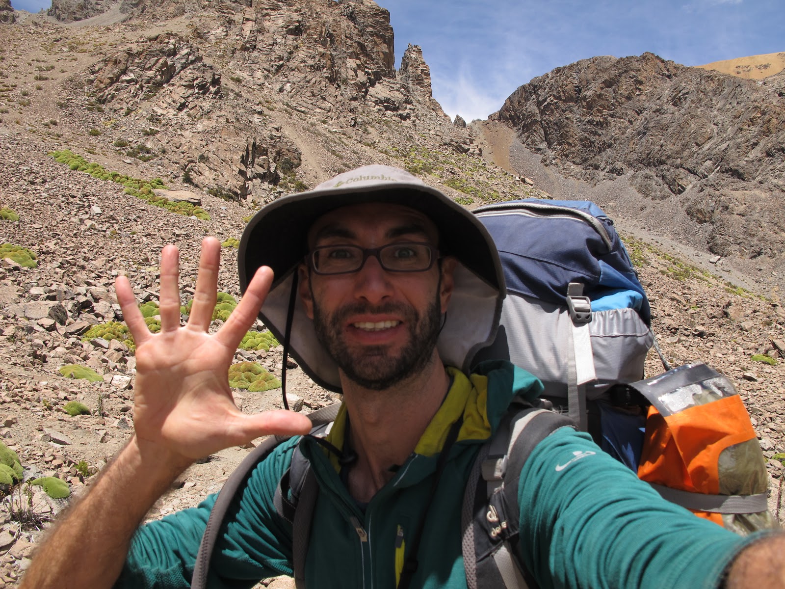
Once I have visited the Colca Canyon, I take my backpack to go on an five days epic adventure from Cabanaconde, in the Colca Canyon to Andagua, in the Valley of the Volcanoes!
You can see the route followed on this map that I bought in Arequipa, with the route marked in red.

Map of the Route from Cabanaconde to Andagua
Hike info
- Track: https://ca.wikiloc.com/rutes-senderisme/cabanaconde-a-andagua-71113808(incorrect heights and distances, correct data in the description below)
- Correct distance and elevation: 69 km (+ 4130m, -3460m) Minimum height: 1900 m in Colca river; maximum height: 5200 m in Cerani Pas)
- Duration: 4-5 days
- Difficulty and info: medium, no technical requirements. Route at high altitude. Possibility of buying food in Choco, Chachas and Andagua. Accommodations in Chachas and Andagua.
- Material: Tent, stove, sleeping bag
- Pictures: album hike de Cabanaconde a Andagua
Day 1: from Cabanaconde to Choco (24 km, + 570m, -1400m)
I leave early in the morning and the dog from the hostel where I have stayed, Pisco, follows me for a while. After an hour and a half I start to worry that he will follow me all the way to Andagua.
Luckily he stays nibbling on a piece of animal that he founds and just at that moment a pickup passes that takes me 3 kilometers away to the trail towards Choco! Goodbye Pisco! I continue alone but relieved not to have kidnapped the dog.
 |
| Pisco drinking water |
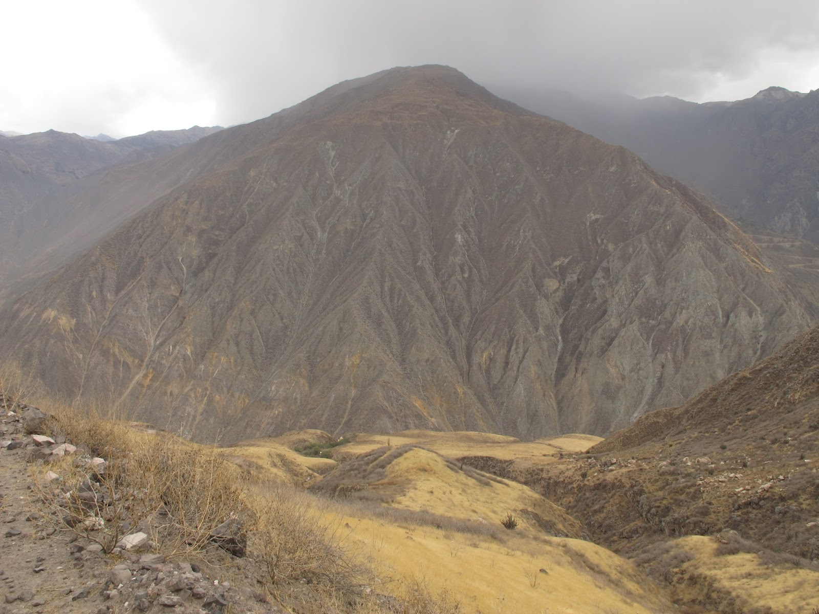
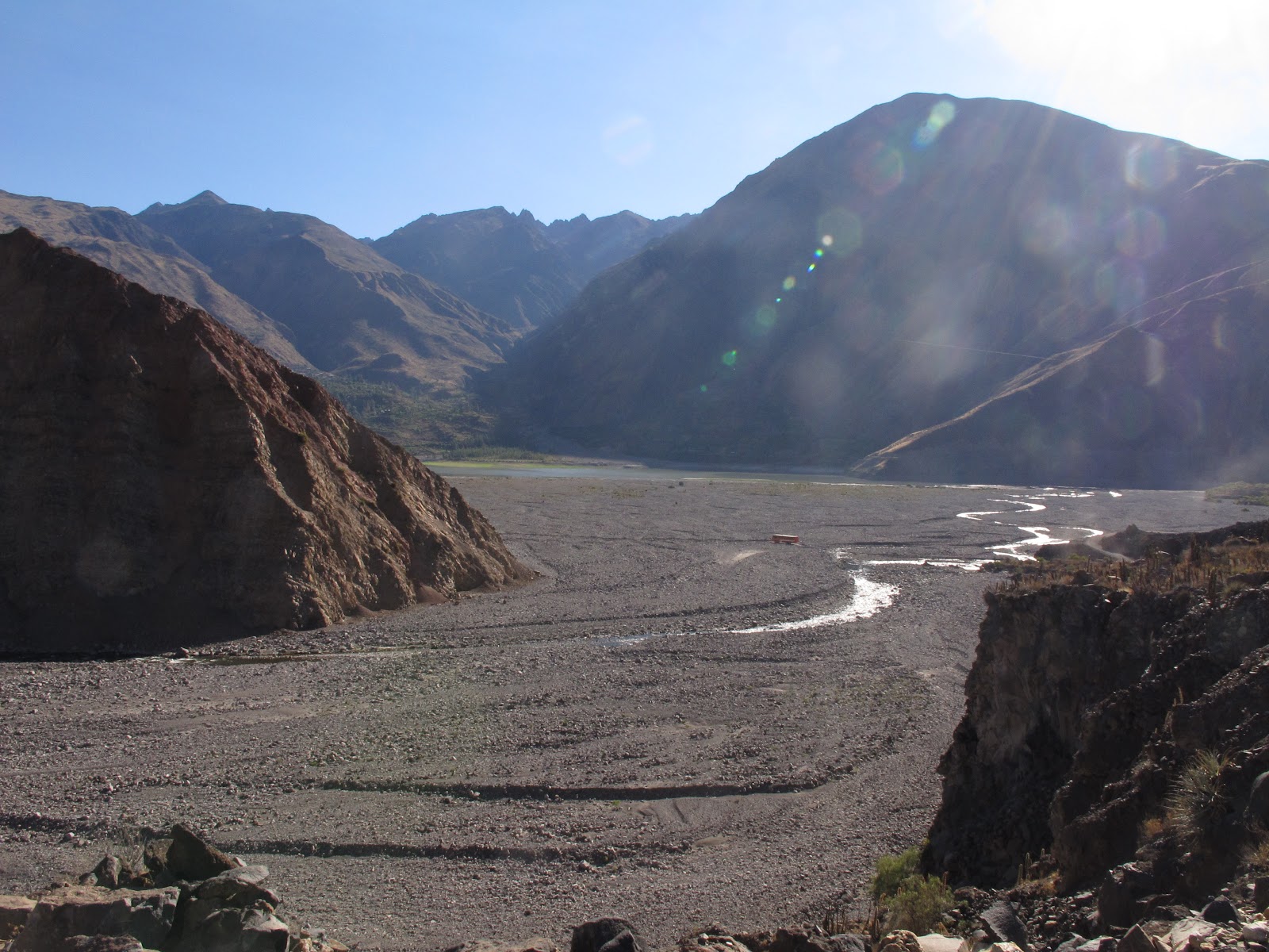
Road to the Colca Canyon
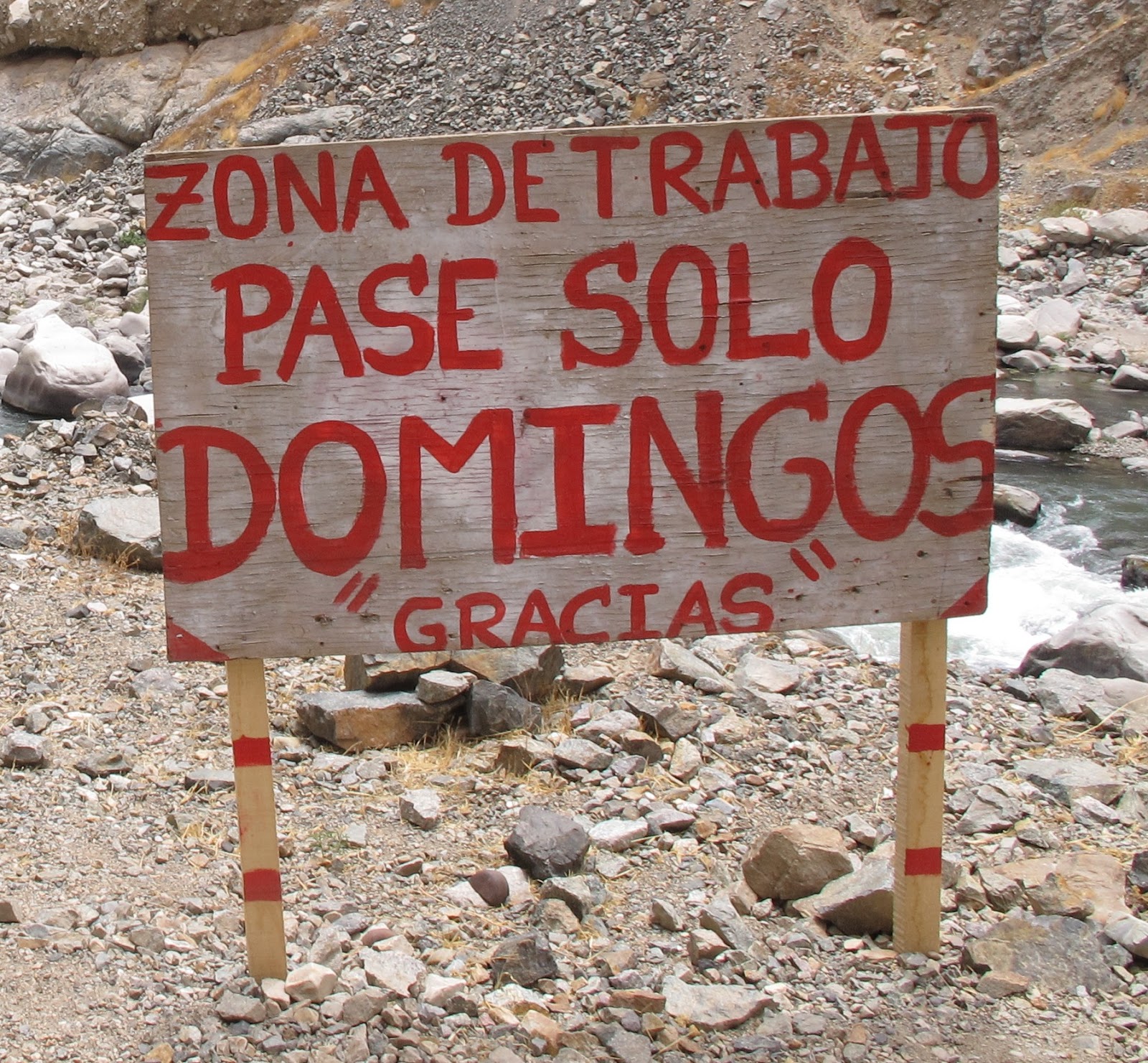
Sign by the river
I go up a few kilometers until I find the workers, who tell me that they are working with explosives. They tell me to talk to “Engineer Miguel.”
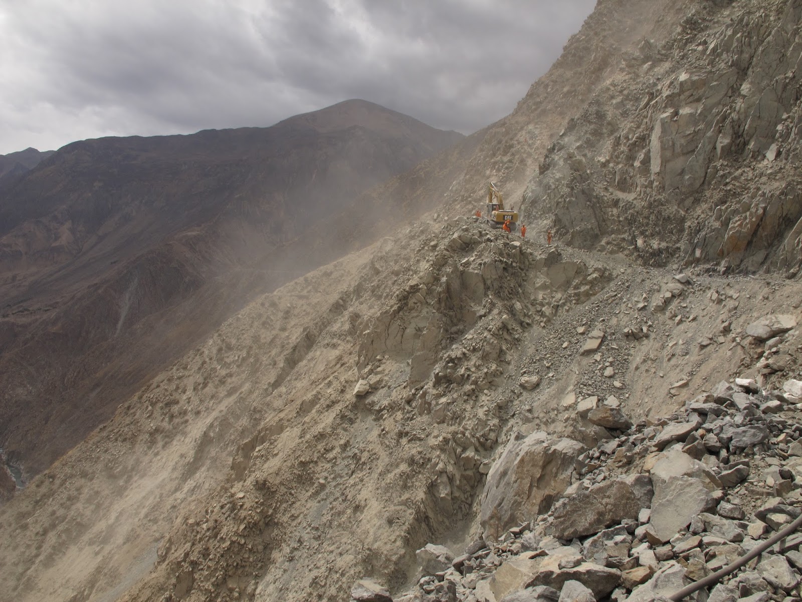
Works to make the road to Choco
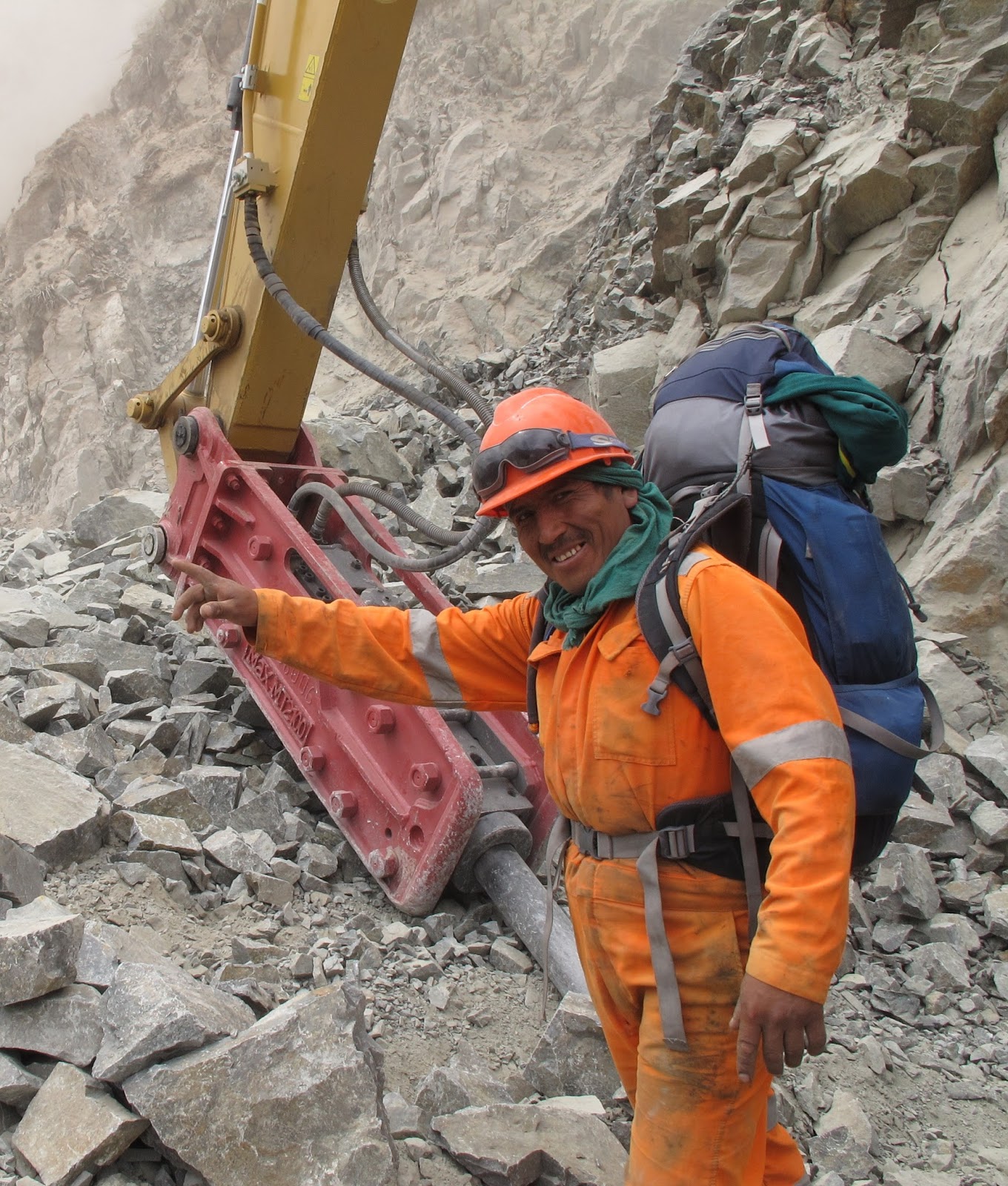
A worker helps me cross the construction zone
Once I have passed and continue along the path that will soon be a road, I admire the work these men do, in the middle of the Andes, far from home and working in really difficult places.
 |
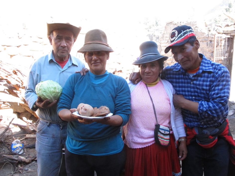
| Children in Choco playing with my camel bag and Aquilina using the “Pushka”, an Inca tool to make thread |
Day 2: from Choco to Miña (10 km, + 1150m)
The second day I get up early and go through the valley of the Chalza River, a stream of glacial waters, that has formed an incredible gorge, with vertical walls of hundreds of meters.
After 4 hours of walking, I arrive in the town of Miña, totally isolated up the valley. Usually, they go to buyfood 10 hours away by mule, towards Soro, which may change once the road reaches Choco.
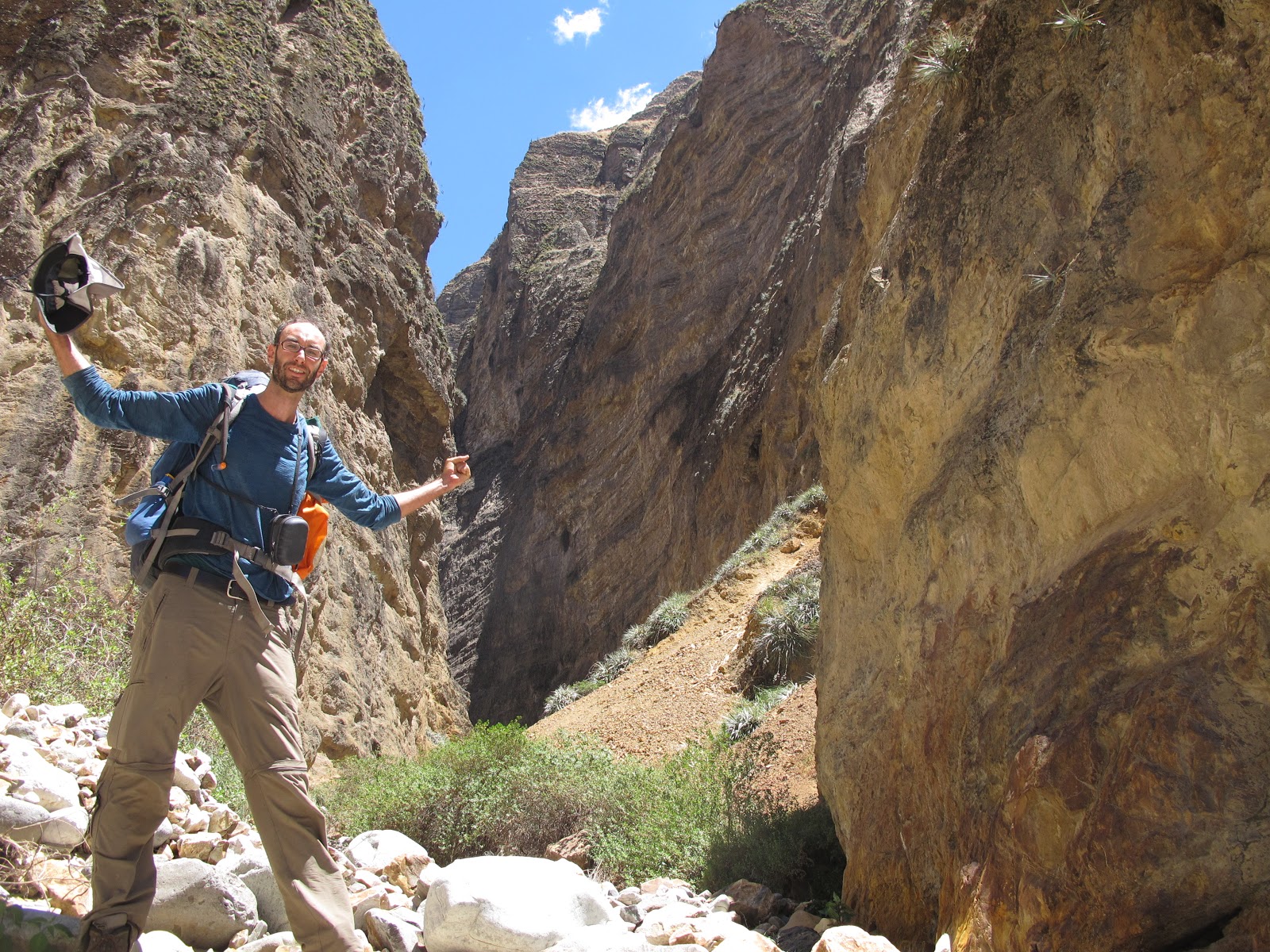
Chalza canyon
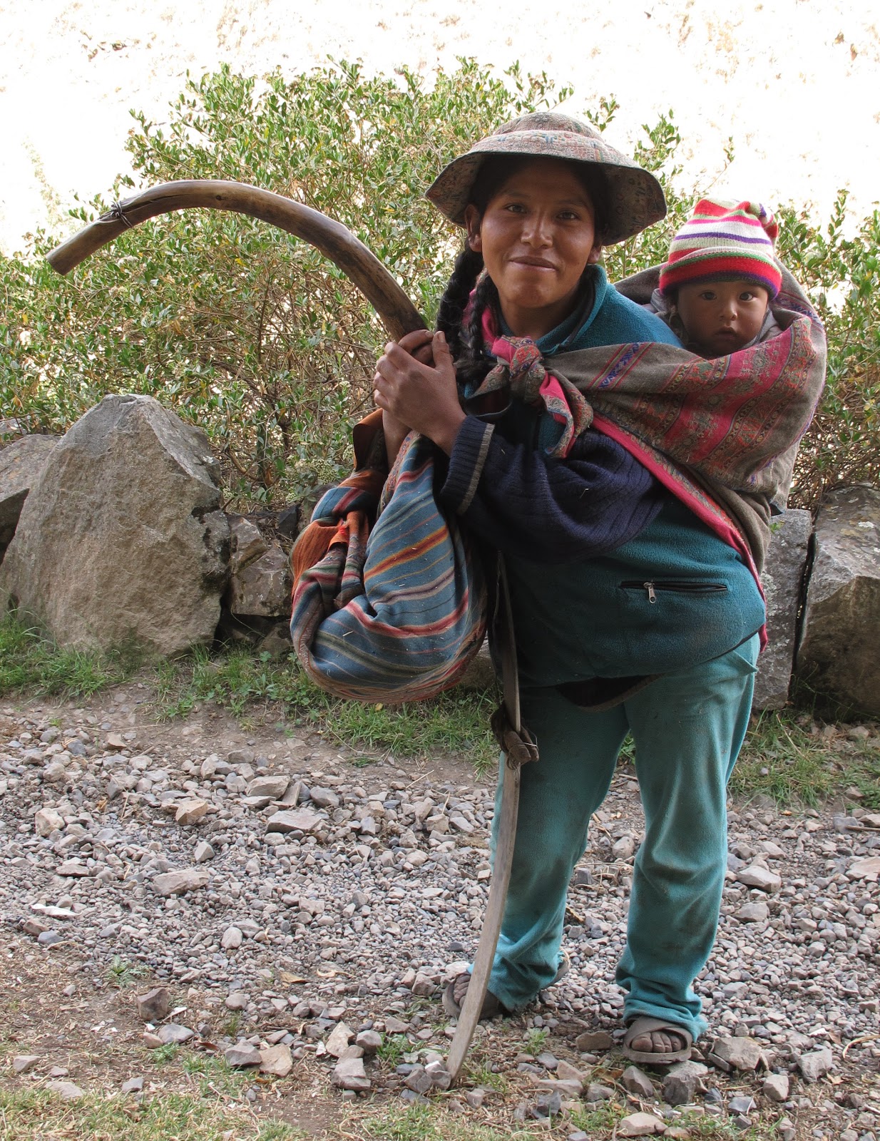
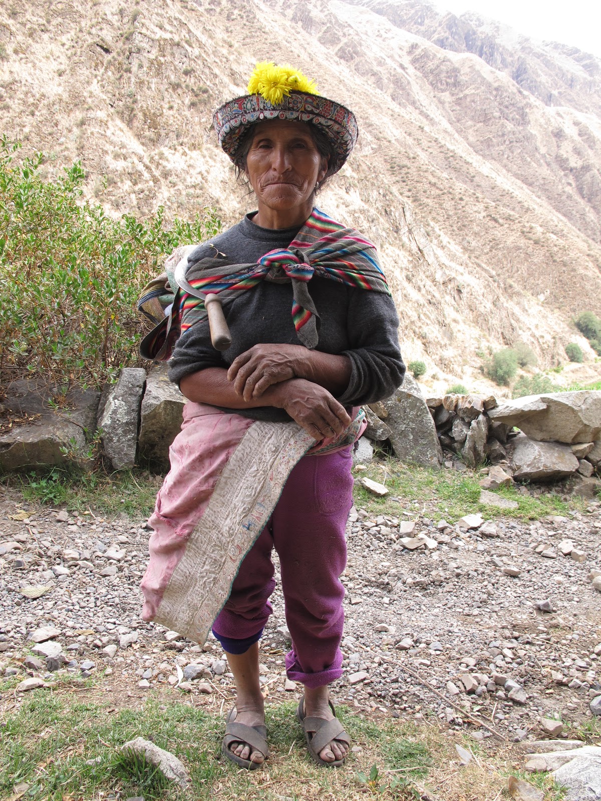
I settle next to the canal, I make food and my little place becomes a photographic studio to portray the villagers of Miña who go to work in their “chacras” or pieces of land.
 |
| Flora and Mateo, with a “chaquitaklla” or Inca foot plougher |
 |
| Sabina and her sickle, going to the fields |
After a few hours I continue the walk until I reach 4,000 meters, where the highest irrigation canal in Miña passes. I camp here and enjoy the incredible views to the distance, with the glacier Ampato, 6288 m, which means “toad” in Aymara and where they found in 1995 a mummy of a girl sacrificed by the Incas, who they baptized with the name of “Juanita”. Next to Ampato there is the mountain “Hualca Hualca” and the smoking Sibancaya volcano.
 |
| Hualca hualca, Sabancaya and Ampato |
Day 3: from Miña to Chachas (20.7 km, + 1810m, -2060m)
I wake up at night and the moon and the stars illuminate the sky and the distant mountains.
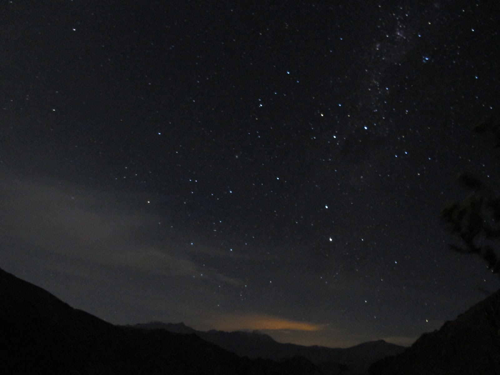
Starry sky in Miña
I start walking at dawn and reach 4,600 meters to go down to the abandoned Miñauyo camp.
From here I keep going up the valley and during that day I don’t see anyone. Four condors fly very close to me checking what I am. Some cows drink water from the lake and around me there are mountains of fantastic reddish, yellow and green colors of minerals that have been mined since ancient times. It is a truly magical moment!
Fantastic colors after having passed the Miñauyo camp

The majestic flight of the condor
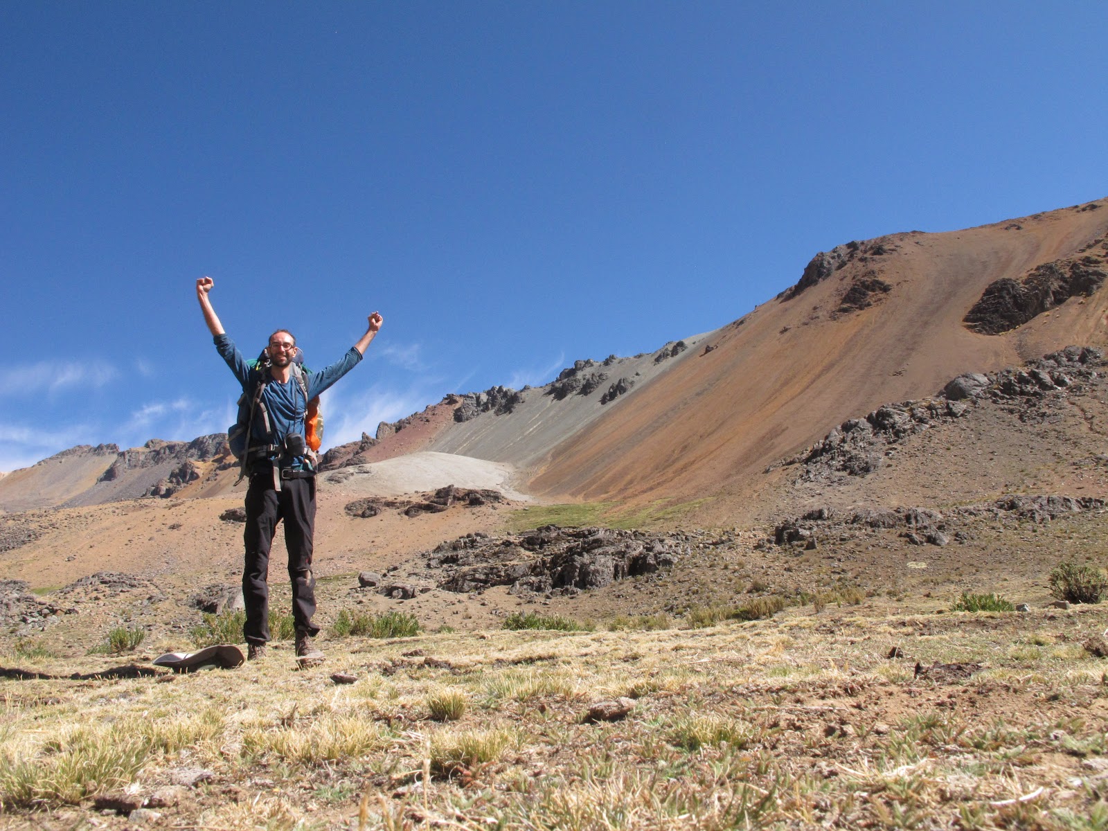
 |
| Finally I reach 5000 meters! |
I make stops from time to time to recover from walking at this altitude, and finally I reach 5000 meters, quite tired! After a while, I arrive at the Cerati Pass (5,200m), access to the Valley of the Volcanoes, from where you can see the “Nevado Coropuna” in the distance. Magnificent!
I go down to the town of Chachas through a very long, tedious and dusty road. If there is a more direct path, I cannot find it. Some black bulls look at me frowning and I decide not to take any shortcut.
It gets dark, I camp in a more or less flat field. The pegs won’t stick, my jacket got wet, my stove pump broke (who says MSR is a good brand ?!) and I have cactus spines stuck all over my backpack. Tomorrow will be a new day!
Day 4: Chachas (rest day)
I spend half an hour crossing several “chackras” to finally reach Chachas. I see a very busy courtyard and I find several men working preparing a lot of food to celebrate Miner’s Day, December 5.
They invite me to breakfast and tell me that there are parties in town: soccer, “cockfighting” and “dancing.” I decide to take a day off.
 |
| They invite me to breakfast at Chachas for the miner’s day |
As soon as I get to the room, I see this poster and I hallucinate: “Chachas, the pearl of Castilla”

Chachas, la perla de Castilla
It turns out that without knowing it, I have arrived in Castilla! Here they do cockfights and bullfights (without killing the bull). They are more Castilian here than in Spain!
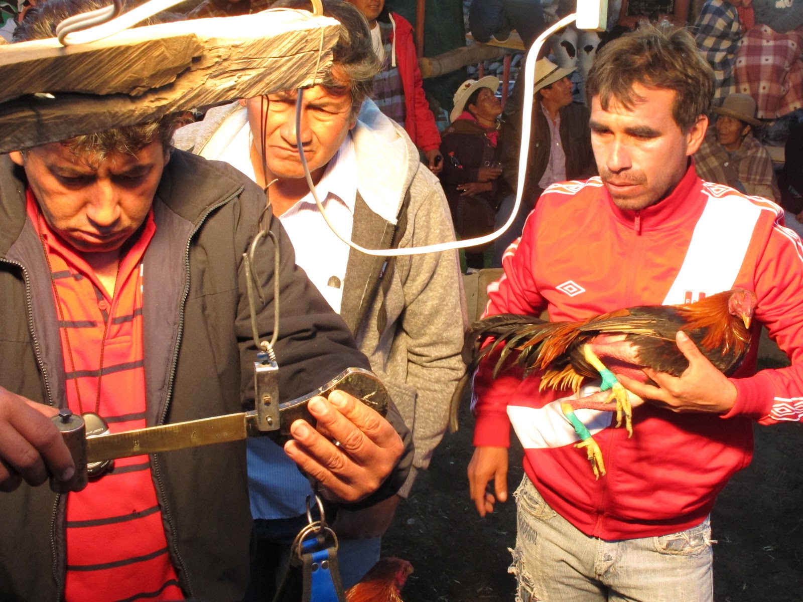 |
| The weighting of roosters before the “fight” |
Day 5: From Chachas to Andagua (14.3 km, + 600m)
I go out early in the morning to avoid the heat and some peasants invite me to a glass of “chicha”, the Andean beer made from fermented corn, which they have inside a 12-liter gasoline drum. This one is superb! Before drinking you should always throw a little chicha on the ground for the Pachamama.
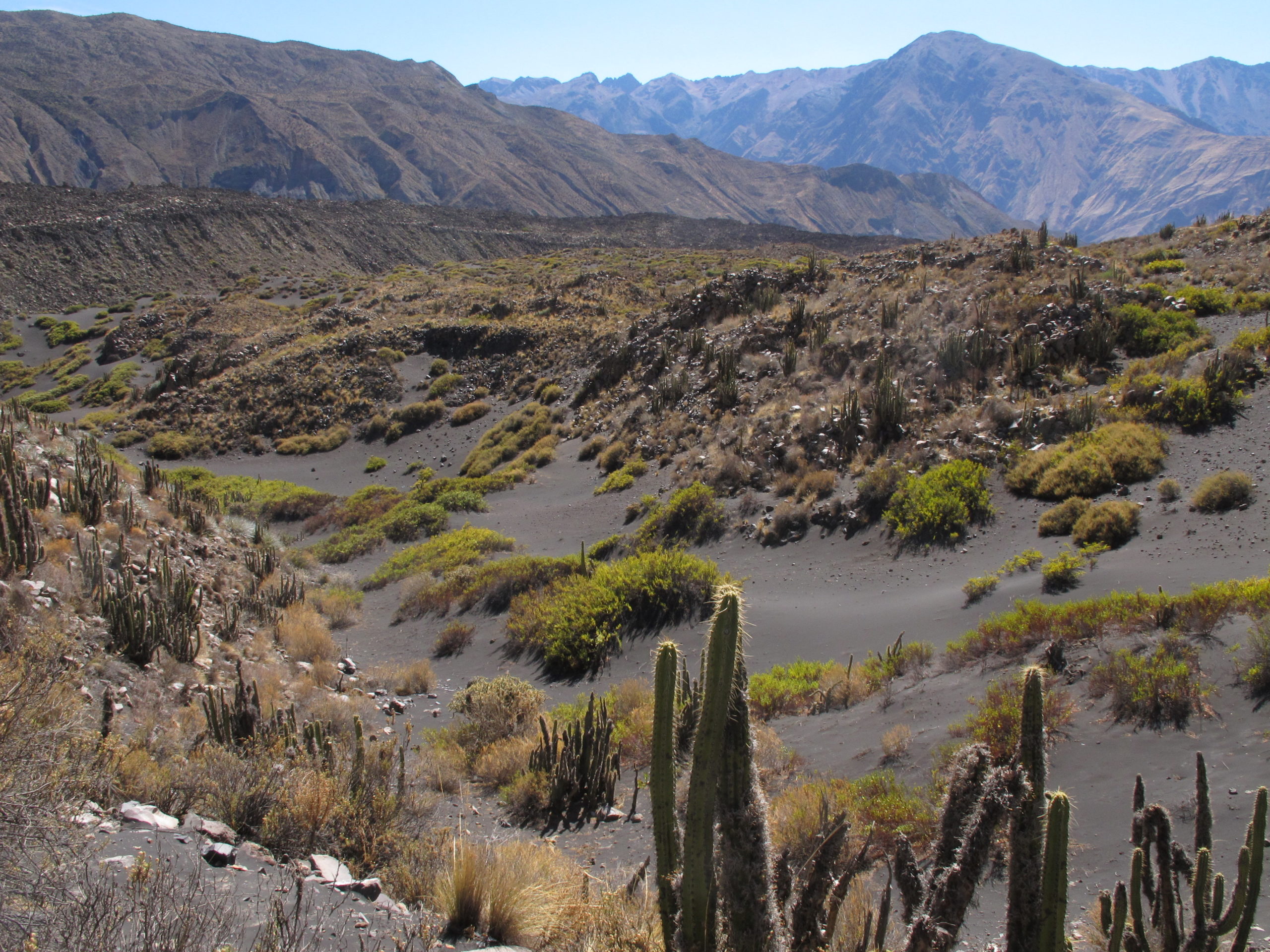
Valle de los Volcanes
I cross the river that ends at Lake Chachas and after an hour’s walk I take a shortcut that deviates to the right of the path, following some tracks on blackish sand. The path is incredible, crossing old lava flows of different textures and shapes and surrounded by tall cylindrical cacti.
After 4 hours of walking, I see the “twin volcanoes”, the entrance to the town of Andagua and the end of this five-day adventure, which I really loved!

Valle de los Volcanes
Valle de los Volcanes

Children in Andagua
A bit of relaxation in Mollendo
What I like the most is the swell, with quite large waves that roll you over the ground. Groups of Peruvians who do not know how to swim that much help each other not to fall when a big wave comes, while those who can swim jump a little further on. It’s like being a kid again on a summer day at the beach!
Greetings!

Leave a Reply