
Southern Patagonia Map
Day 1: Río San Pedro to Estación Ballenera (12.2 km, +129, -129m)

Ana and her stall
I manage to hitchhike and start walking! You can see a map of the route here:

Cabo Froward hike map
The beauty of the Magellanic landscape
Day 2: from “Estación Ballenera” to Río Nodales (20 km, +230m, -230m)
Important note: to cross the rivers it is important to calculate when it is low tide and start crossing the first river a couple of hours before low tide. Enter here to see the low tide in Punta Arenas and add 30 minutes.
Today is a key day! I want to cross the 3 rivers in one day, let’s see if it is possible. There is a spectacular sunrise and breakfast watching as the “toninas”, some black and white dolphins, eat in the bay.
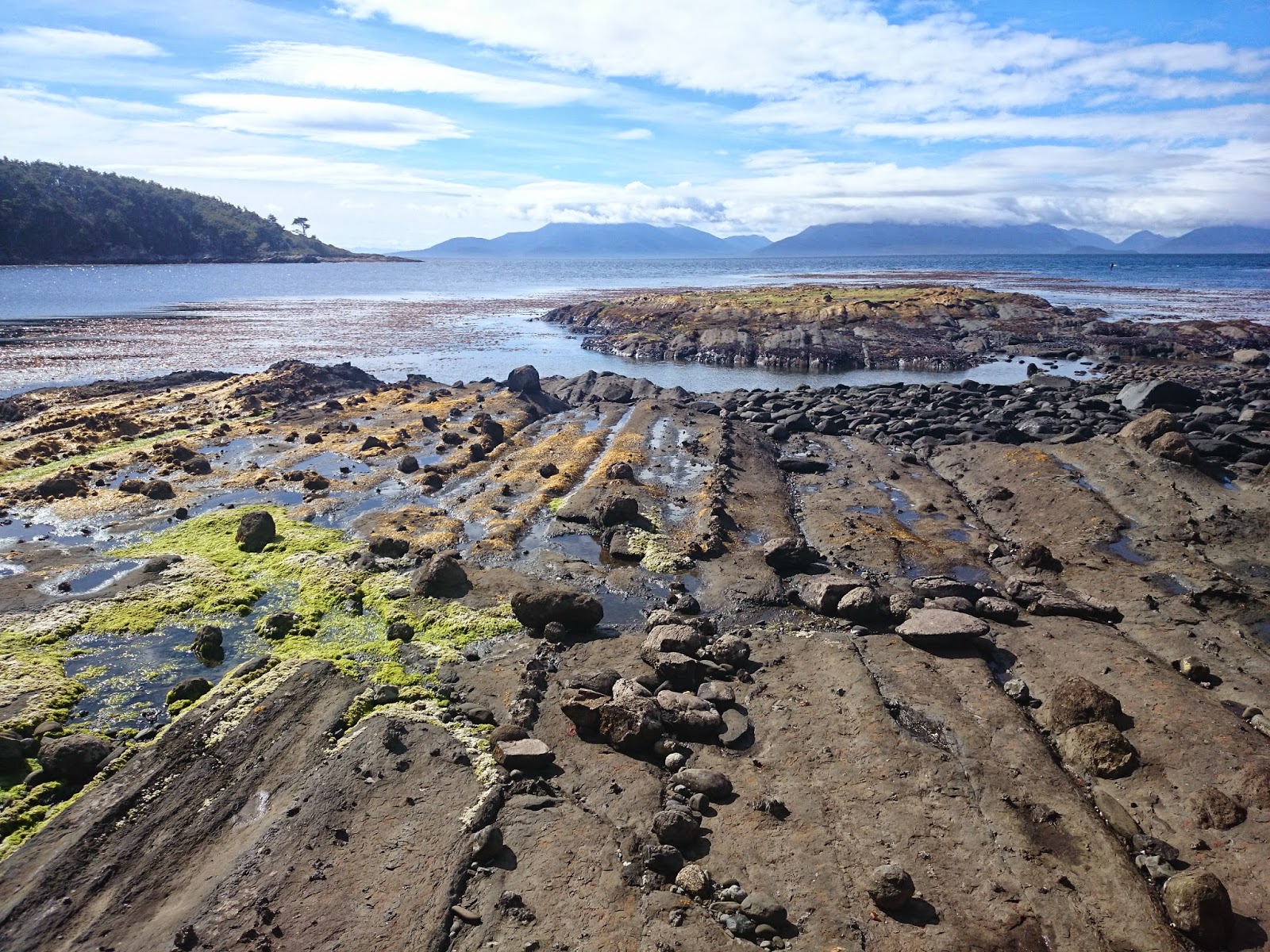
After 2 hours of walking, I cross the Yumbel river, with the water up to the ankle, and 3 hours later the De Gennes river, with the water up to the knee. The walk continues along the coast for 2 more hours, with views of glaciers across the strait, and merchant and fishing boats passing by.
I cross the last river, the Nodales, just in time, as the water is almost to my groin! A couple of Germans show me from the other shore the most suitable place to pass. I camp by the river and contemplate the landscape. There are clouds and a ray of sunlight illuminates a distant mountain that I had not seen, like those museum models that turn on a light bulb when you press a button. Beautiful! The mission of the day is accomplished.
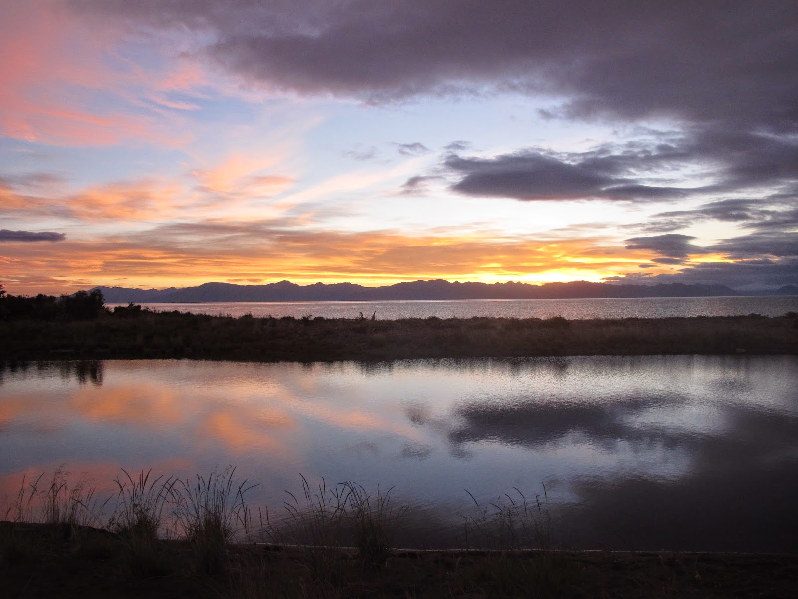
Sunset in Río Nodales
Day 3: from Río Nodales to Cabo Froward and back to Río Nodales (19 km, +579m, -579m)
Today’s the big day! Light, since I leave the tent behind, I head towards Cape Froward 5 hours before low tide to go while the tide is going out and return when the tide is rising since the trail goes along to the coast.
Halfway through I see the mummy and I record a video where you can get an idea of this walk:
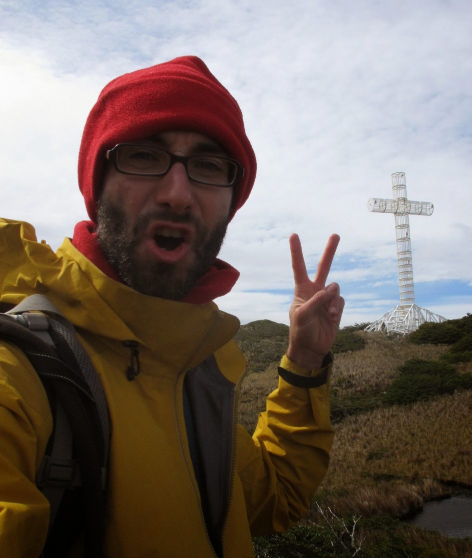
And after two more hours I reach the objective: a large cross called “Cruz de los Mares” marks the place, and it is empty to allow the strong wind to pass through it. The views are spectacular, it was worth it!
There is a plaque where it says that Pope John Paul II was there in 1981, I wonder if on foot or by helicopter! Anyway … Once I have verified that there is no Wi-Fi here, I return to my tent with views of the Strait of Magellan, 4 hours northeast.
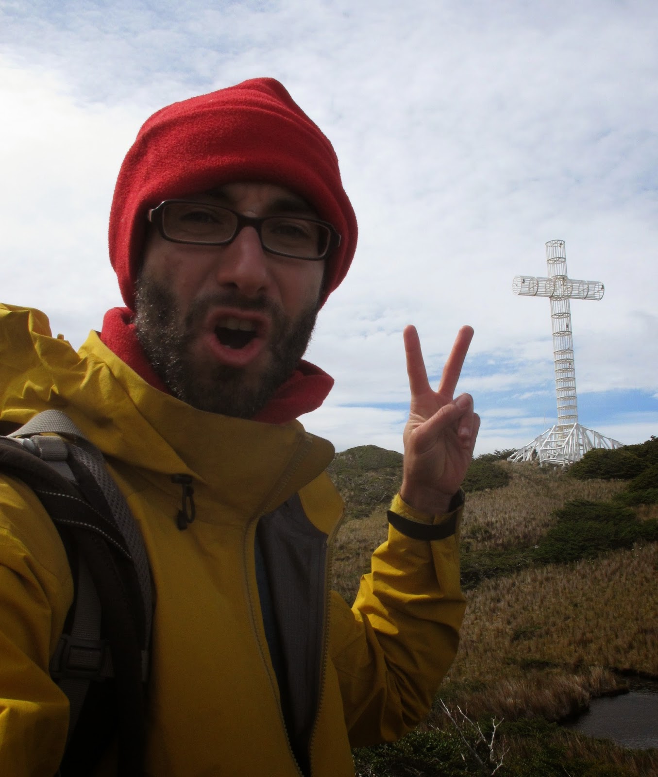
Cruz de los Mares in Cabo Froward
Day 4: from Río Nodales to the Beggining of the trail (27 km +320m, -320m)
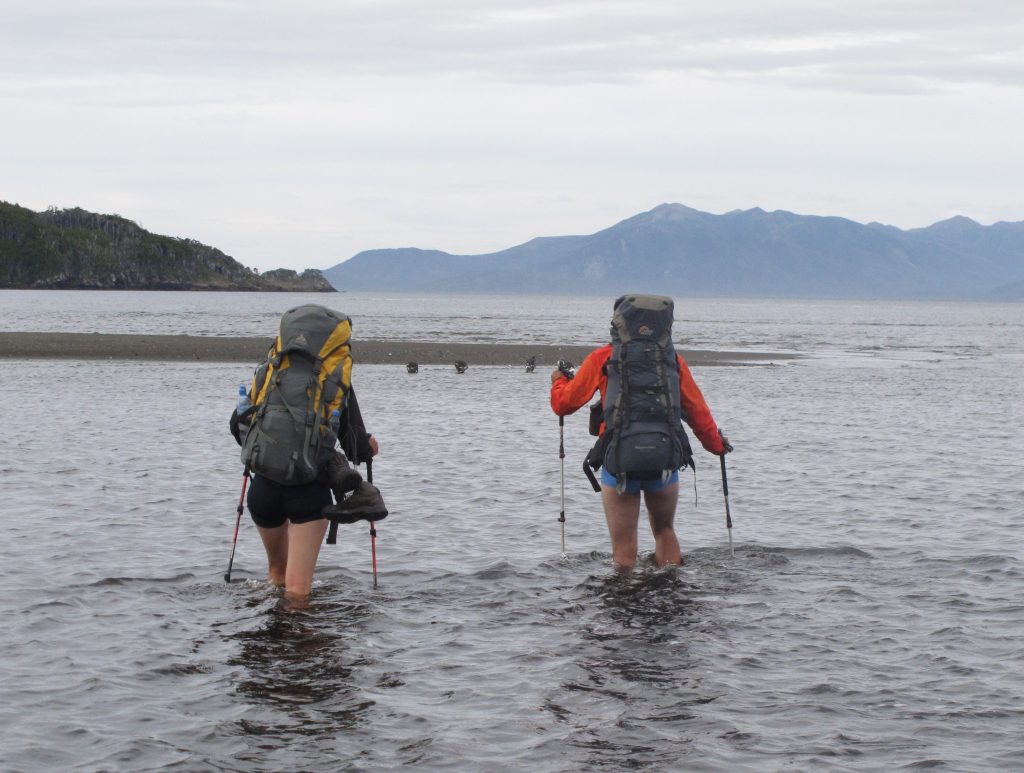
German couple crossing a river on the Cape Froward route
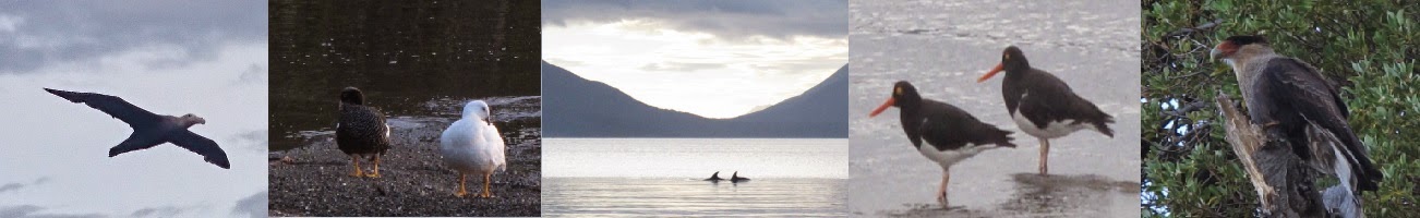 |
| Albatros, Cauquen, Toninas, Oyster catcher and Carancho |
I camp together with the German couple who in the last few days have been checking that I was well and with two brothers, also German, whose food was stolen by the fox, and they have had to return. In short, a good adventure!
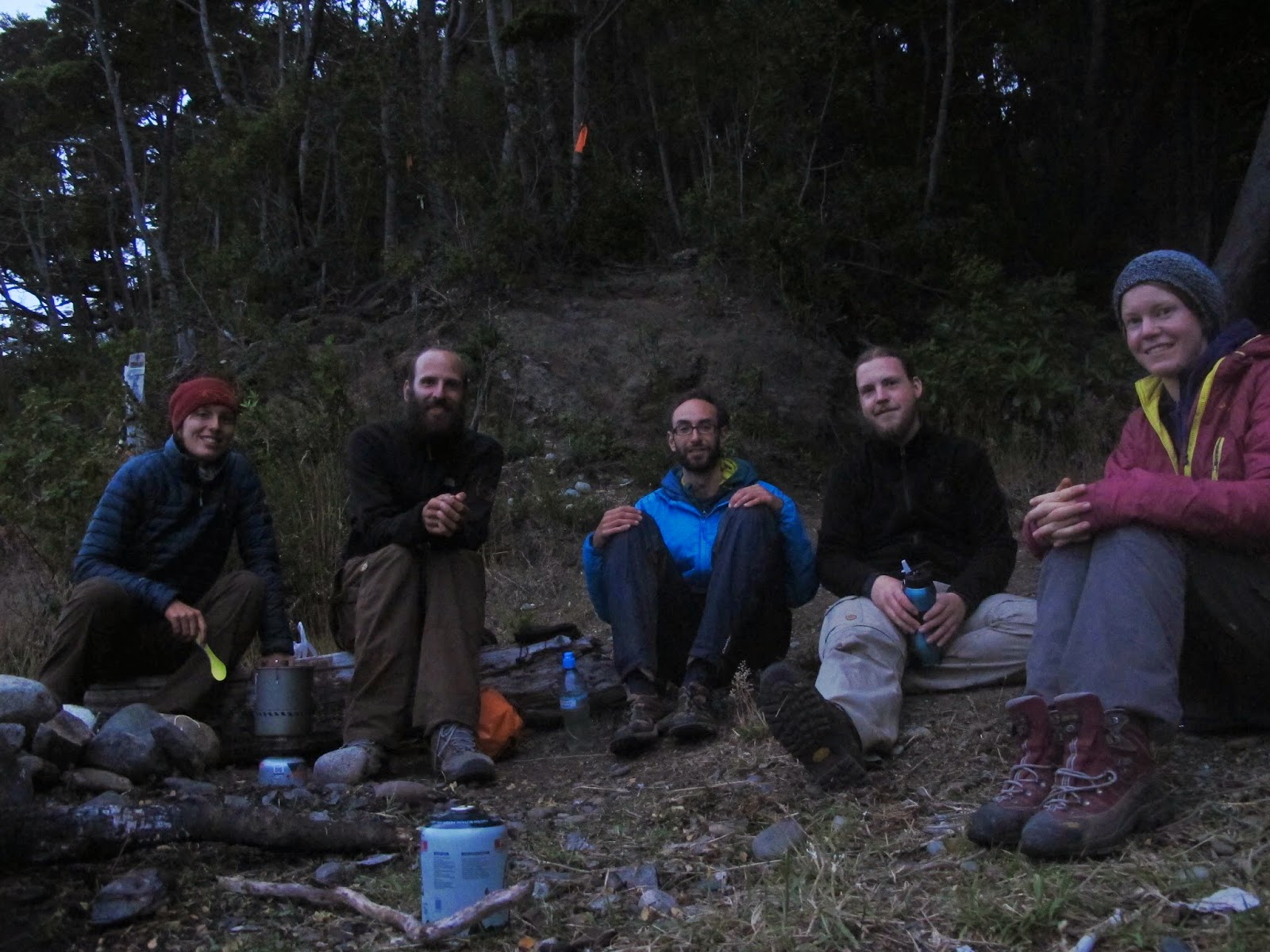
Day 4 camp
More pictures in album de la ruta al Cabo Froward
Magellanic penguins on Magdalena Island
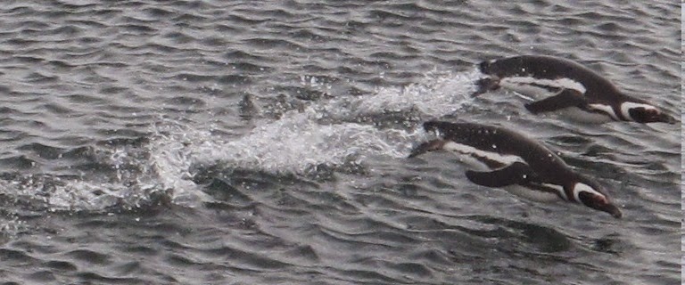
Magellanic penguin
Once I have recovered I prepare to go to Torres del Paine, a place that everyone tells me that I have to visit even if it is full of people.

Leave a Reply